


The Future Machine – celebrate the blossoming cherry trees
Christ Church Gardens and Ronald Street Playground Ilkeston Road (opposite Primary) Saturday 20th April, 2-4pm […]


Horizon is a multidisciplinary centre of excellence for Digital Economy research centred at the University of Nottingham. We work in collaboration with leading academic, commercial, public and third sector partners across a broad spectrum of subjects to deliver exciting impact which will shape the digital economy of tomorrow. Find out more about our work in our latest Impact Highlights brochure or by watching this short video
Christ Church Gardens and Ronald Street Playground Ilkeston Road (opposite Primary) Saturday 20th April, 2-4pm […]
Many thanks to Nottingham’s Poppy Folk Club for booking Carolan to play at their annual […]
“As the use of delivery robots increases it’s important to understand how people interact with […]
Congratulations to Ellie Colegate on presenting their paper “Differentiating between harm to users and third parties […]
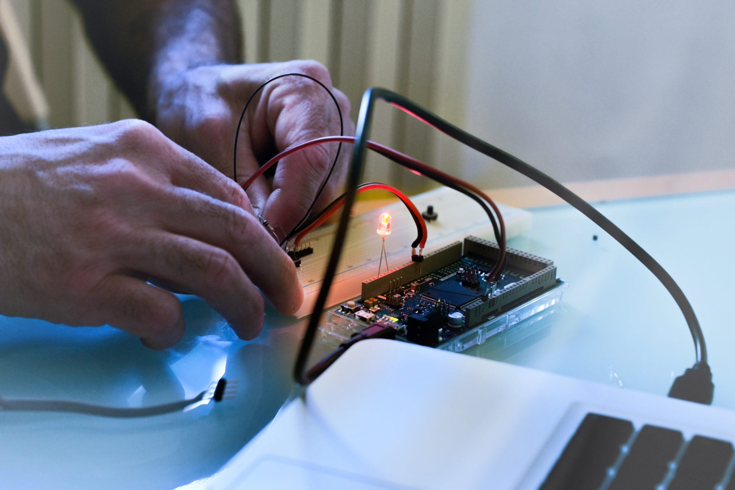
On Monday, April 15th, 2024, first-year students of the Horizon CDT had the chance to […]
Horizon Transitional Assistant Professor Horia Maior shares his experience of facilitating a workshop on Ethics […]
Horizon Digital Economy Research, University of
Nottingham Innovation Park, Triumph Road, Nottingham,
NG7 2TU
horizon@nottingham.ac.uk